How Did a Piece of Canada End Up in Australia?
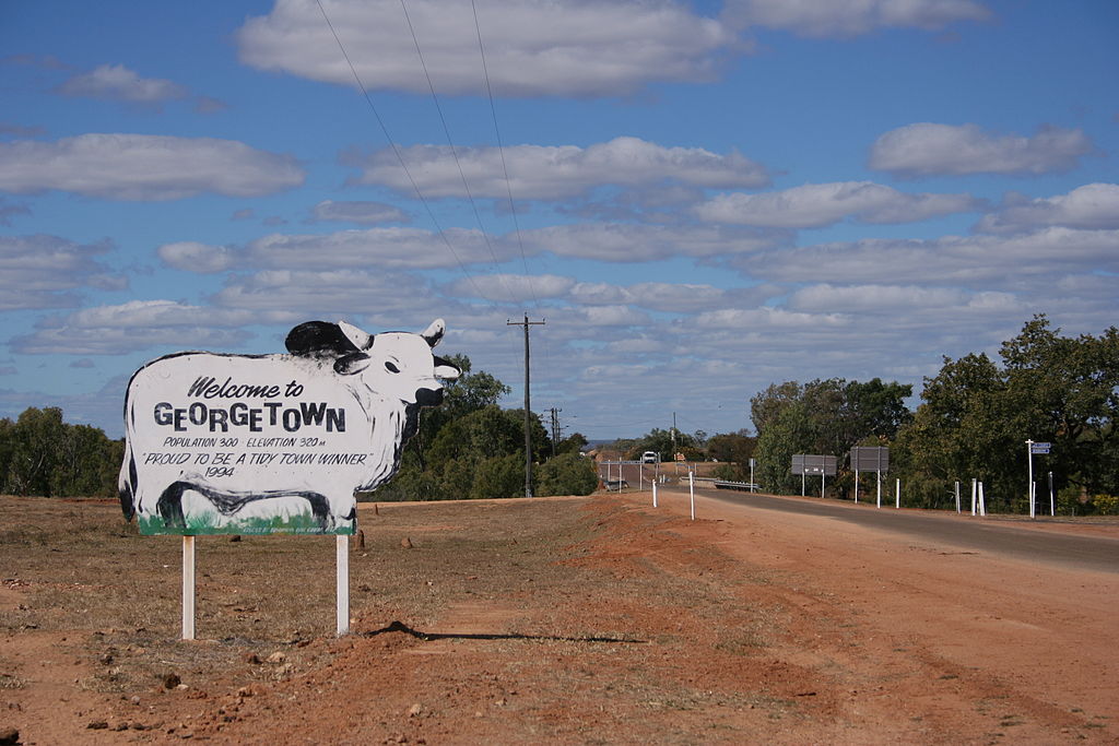
Georgetown, Australia (www.gondwananet.com, Wikimedia Commons)
Georgetown, Australia (www.gondwananet.com, Wikimedia Commons)
How does this align with my curriculum?
Learn how geologists used radioactive dating to uncover geology shared by both Canada and Australia.
Did you know that part of Australia was once a part of Canada? Amazing, isn’t it?
This discovery was revealed by a team of geologists in a 2018 study. Geologists are often referred to as the historians of the Earth. They develop tools and techniques to unravel the secrets of the Earth’s history.
In this article, we will talk about supercontinents. We’ll learn how geologists use a technique called radiometric dating to study them. Then you’ll understand how geologists used this technique to discover a piece of Canada Down Under.
What is a supercontinent?
A supercontinent is an assembly of all (or most) landmasses into one very large continent. The lithosphere is Earth’s outer shell. Supercontinents happen when pieces of the lithosphere move over the Earth’s mantle and form one huge landmass. This happens because of plate tectonics.
Throughout geological time, there have been several supercontinents on Earth. The most recent supercontinent was Pangaea. It existed around 300 million years ago. Another supercontinent was Nuna, also known as Columbia. It formed about 1600 million years ago during the Precambrian era.
Misconception Alert
Pangaea is not the only supercontinent ever to have existed! But it is probably the most well-known supercontinent.
What is radioactive dating?
Scientists use geochronology to study supercontinents. Geochronology is the study of the age of rocks. One geochronology technique is radioactive dating. It involves examining radioactive elements in rocks. For example, geologists using radioactive dating might study uranium, thorium, potassium, and carbon.
Some elements can have different numbers of neutrons. These are called isotopes. Isotopes can be stable or unstable. A stable isotope does not decay into other elements. An example of a stable isotope is 13C (carbon-13), which has 6 protons and 7 neutrons.
Meanwhile, unstable isotopes naturally decay in the environment. They change their atomic structure. This means they can gain or lose protons or neutrons. The original isotope is called the parent isotope. It decays into a daughter isotope. For instance, a parent isotope could be 14C, carbon-14, which has 6 protons and 8 neutrons. It can decay into 14N into nitrogen-14, which has 7 protons and 7 neutrons. You can learn more at this link.
All radioactive elements decay at a constant rate. This rate is called their half-life. The half-life of an isotope is the time it takes for half of the parent isotope to decay into the daughter isotopes.
|
Carbon-12 |
Carbon-13 |
Carbon-14 |
|
|
Number of protons |
6 |
6 |
6 |
|
Number of electrons |
6 |
6 |
6 |
|
Number of neutrons |
6 |
7 |
9 |
|
Atomic mass |
12.00000 |
13.00335 |
14.0 |
|
Stability |
Stable |
Stable |
Unstable (radioactive) |
|
Half-life |
- |
- |
5 730 years |
|
Abundance in nature |
98.80% |
1.109% |
<0.0001% |
This constant rate of decay acts as a clock. Geologists can use these clocks to calculate the age of a rock. They measure how many daughter isotopes have been generated. They also measure how many parent isotopes are left.

Scientists can use isotopes with even longer half-lives to date very old rocks. For example, they might use the isotopes of Uranium (U-235 and U-238).
How did scientists use this technique in Australia?
Geologists studied sedimentary rocks in Georgetown Inlier, Northeast Australia. They measured small amounts of lead and uranium inside these rocks. Then they used the measurements to date the rocks. That’s how they made a fascinating discovery. These rocks have the same age as the Wernecke Supergroup. That’s a group of sedimentary rocks found in the Yukon and the Athabasca Basin in Canada! They were formed from the Laurentia supercontinent that existed 1.7-1.6 billion years ago.

The Georgetown Inlier rocks cannot be linked to any other rocks in Australia. Geologists think these rocks formed on the Laurentia continent and drifted apart around 1680 million years ago. The drifting land may have collided with Australia when Nuna was formed. Much later, when Pangaea broke apart, the Georgetown Inlier remained with Australia.

The work of geologists
When scientists make a discovery like this, they still have to use other dating methods to cross-check the findings. Reconstructing the history of supercontinents is a difficult task. However, the historians of the Earth are working hard to achieve it. Geochronology is a useful tool to accomplish such a feat.
This discovery reminded me of my undergraduate degree in Earth Sciences. I worked in a geochronology laboratory. This fascinating field of study is something you can do too!
Starting Points
- Have you ever walked over or driven by rocky land formations and wondered how old they were?
- What changes in your environment have you observed or experienced that help indicate the passage of time or age of an object? Explain.
- How can research into plate tectonics help us in today’s world?
- What different sciences are useful in exploring and understanding the geological history of Earth?
- How has new technology helped us calculate the age of rocks?
- How could you explain the concept of half life to another student?
- Research and define the term geochronology.
- Why did geochronologists use the ratio 206Pb/238U to date the rocks rather than radiocarbon dating?
- This article, and the connecting resources, can be used to introduce concepts connected with plate tectonics and the tools and techniques involved in dating geological formations.
- Begin the lesson with an Admit Slip to activate students’ prior knowledge of the theory of plate tectonics and how this theory is used to explain the current location and shape of the continents on Earth. Download ready-to-use reproducibles using the Admit Slip learning strategy for this article in [Google doc] and [PDF] formats.
- Alternatively, or in addition to using the Admit Slip learning strategy, teachers could lead a discussion on the observations that could help us determine the age of the Earth, how current landmasses formed, etc. Students could be shown a globe or map of the world and asked if there is any evidence to suggest the continents might not have always been where they are today.
- After reading the article, teachers could have students complete a Concept Definition Web learning strategy (individually or as partners) to help them develop a deeper understanding of geological dating techniques. Download ready-to-use reproducibles using the Concept Definition Web learning strategy for this article in [Google doc] and [PDF] formats.
- Teachers could have students refer to a globe or map of the world to locate the positions of the Athabasca Basin in Canada and the Georgetown Inlier in Australia. Students could be asked to measure the distances involved and how such rocks could have once been in the same place. As they address the topic of plate tectonics, teachers could return to this example to help students get an idea of the changes that took place over millennia, the forces involved, and the huge amount of time that had to have elapsed before our current landmasses ended up in their current locations.
Connecting and Relating
- Have you ever walked over or driven by rocky land formations and wondered how old they were?
- What changes in your environment have you observed or experienced that help indicate the passage of time or age of an object? Explain.
Relating Science and Technology to Society and the Environment
- How can research into plate tectonics help us in today’s world?
- What different sciences are useful in exploring and understanding the geological history of Earth?
- How has new technology helped us calculate the age of rocks?
Exploring Concepts
- How could you explain the concept of half life to another student?
- Research and define the term geochronology.
- Why did geochronologists use the ratio 206Pb/238U to date the rocks rather than radiocarbon dating?
Teaching Suggestions
- This article, and the connecting resources, can be used to introduce concepts connected with plate tectonics and the tools and techniques involved in dating geological formations.
- Begin the lesson with an Admit Slip to activate students’ prior knowledge of the theory of plate tectonics and how this theory is used to explain the current location and shape of the continents on Earth. Download ready-to-use reproducibles using the Admit Slip learning strategy for this article in [Google doc] and [PDF] formats.
- Alternatively, or in addition to using the Admit Slip learning strategy, teachers could lead a discussion on the observations that could help us determine the age of the Earth, how current landmasses formed, etc. Students could be shown a globe or map of the world and asked if there is any evidence to suggest the continents might not have always been where they are today.
- After reading the article, teachers could have students complete a Concept Definition Web learning strategy (individually or as partners) to help them develop a deeper understanding of geological dating techniques. Download ready-to-use reproducibles using the Concept Definition Web learning strategy for this article in [Google doc] and [PDF] formats.
- Teachers could have students refer to a globe or map of the world to locate the positions of the Athabasca Basin in Canada and the Georgetown Inlier in Australia. Students could be asked to measure the distances involved and how such rocks could have once been in the same place. As they address the topic of plate tectonics, teachers could return to this example to help students get an idea of the changes that took place over millennia, the forces involved, and the huge amount of time that had to have elapsed before our current landmasses ended up in their current locations.
Learn more
Long lost chunk of Canada found in Australia (2018)
Article form CBC News about how the discovery of a chunk of Canada found in Australia reveals information about an ancient supercontinent.
Dating Rocks and Fossils Using Geologic Methods (2013)
Article from the Nature Education Knowledge Project on using radiometric dating methods to determine how old rocks and fossils are.
References
Chung, E. (2018). Piece of Yukon from ancient supercontinent found in Australia. CBC News.
Nordsvan, A., Collins, W., Li, Z., Spencer, C., Pourteau, A., & Withnall, I. et al. (2018). Laurentian crust in northeast Australia: Implications for the assembly of the supercontinent Nuna. Geology, 46(3), 251-254. DOI: 10.1130/g39980.1