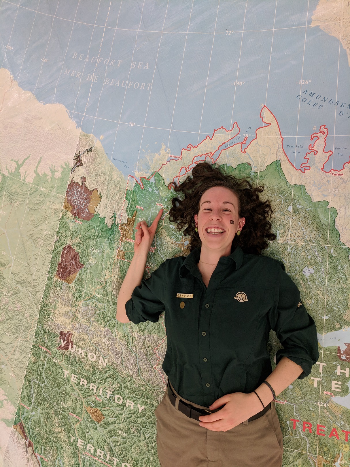
Hayleigh Conway laying on map of NWT and pointing to Inuvik on the map. Taken on GIS Day 2017.
Hayleigh Conway (she/her)
Geomatics Technician
Parks Canada
-
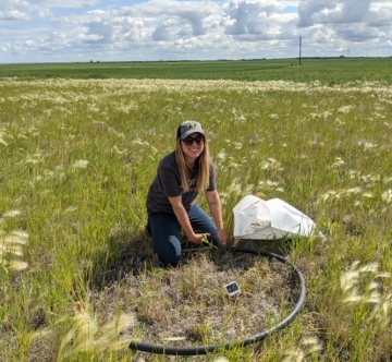
Brianna Lummerding
Career Profiles
Agronomic Innovation Manager
I look after all things related to soil management for a group of retailers. -
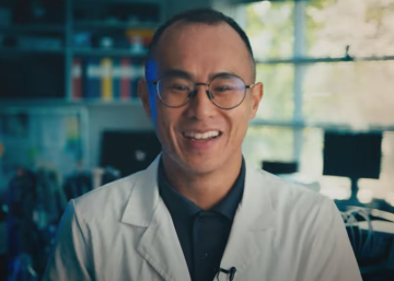
Li Tan (he/him)
Career Profiles
Molecular Lead
I coordinate the day-to-day operations in the DNA Extraction Lab. -
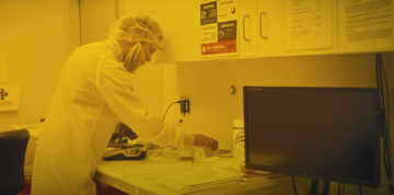
Tyler Morhart (video)
Career Profiles
Scientist, Beamline Responsible - SyLMAND
I am responsible for the SyLMAND beamline at the Canadian Light Source synchrotron facility. -
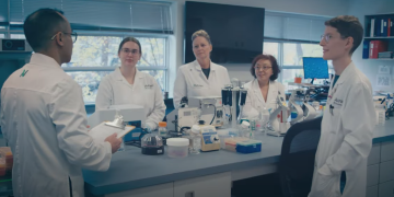
Li Tan (Video)
Career Profiles
Molecular Lead
I coordinate the day-to-day operations in the DNA Extraction Lab. -

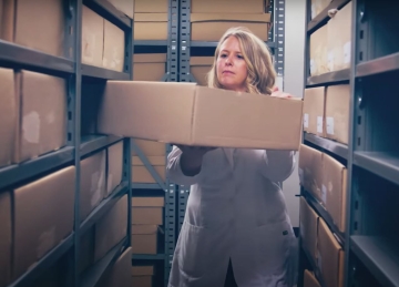
Rashell Featherstone (she/her)
Career Profiles
Senior Program Associate
I coordinate projects for the development of new products at STEMCELL. -
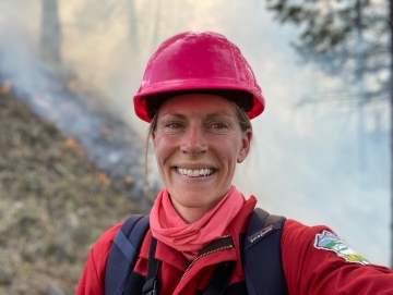
Kira Hoffman (she/her)
Career Profiles
Postdoctoral Researcher/Fire Ecologist
I am a researcher at both a university and a not-for profit organization where I am gaining experience to become a senior researcher. -
Zoë Ehlert (Video)
Career Profiles
Manager, Marker Assisted Breeding
I lead a team that develops canola crops by breeding plants with traits we are looking for. -

Daniel Meister
Career Profiles
Master's Student, Kinesiology
-
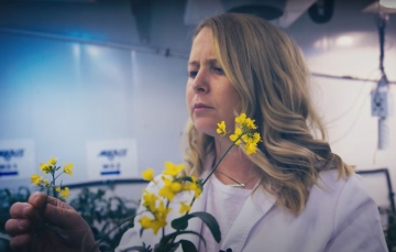
Zoë Ehlert
Career Profiles
Manager, Marker Assisted Breeding
I lead a team that develops canola crops by breeding plants with traits we are looking for. -
Jennifer Baltzer (she/her)
Career Profiles
Professor and Canada Research Chair in Forests and Global Change
I work at a university, teaching students and conducting research on the impact of climate change on forests in Canada and around the world. -
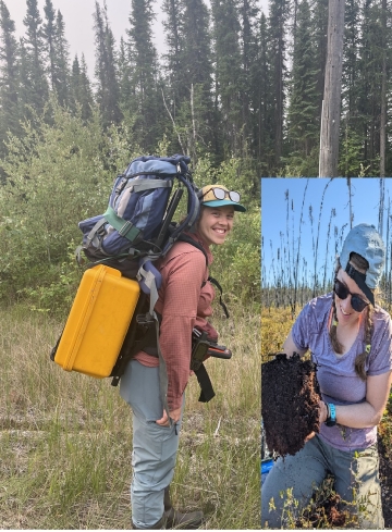
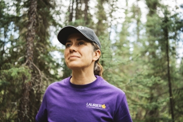
Caitlyn Lyons (she/her)
Career Profiles
Ph.D. Candidate
I am working towards my PhD and studying the forests in the Northwest Territories. -

Joann Whalen
Career Profiles
Professor at the Faculty of Agricultural and Environmental Sciences,
I teach advanced courses on how to manage soils to produce healthy, nutritious food and maintain healthy ecosystem functions.