Michel Leger (he/him/they)
Career Profiles
Hydrographer
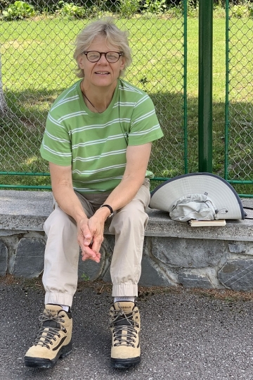
Marg Rutka
Career Profiles
Geoscience Editor
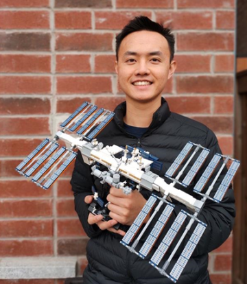
Jim Wei
Career Profiles
Associate GIS Analyst
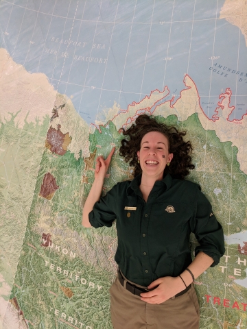
Hayleigh Conway (she/her)
Career Profiles
Geomatics Technician

Planning for Equity in Public Transit
Backgrounders
Learn about how we can use spatial analysis to plan for more equitable public transit.

The Math Behind GPS
Backgrounders
Learn about the history and math behind the Global Positioning System.

Ryan Delaurier
Land Surveyor

Amanda Buer
Project Manager & Consultant
Ralph Renso Ronquillo
Spatial Information Analyst
Tyson Haverkort
Geospatial Solutions Specialist

Therese Morris
GIS Consultant & Business Owner

Karen Stewart
Chief Information Officer (CIO)

The Solutioneers Week 1: An Unexpected Variable
Interactives
This week's episodes and hands-on activity explore block programming.

Tools: Weather Instruments
Picture Collections
15 images of various instruments such as rain gauges, wind vanes and weather satellites used to inform us about the weather

Rosie's Walk
Lessons
Students develop and apply communicating, sequencing and spatial reasoning skills as they create and navigate a maze to get Rosie the Hen safely home for lunch.